



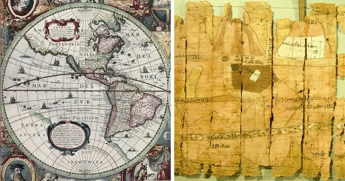


Easily navigating the world is one of the greatest gifts to the modern world. We developed tools to help with that, and one thing stands above all—a map. Throughout history, ancient maps of the world have been invaluable exploration tools. From the artistic designs of medieval maps to the earliest known primitive representations of the globe, these charts offer a glimpse into ancient history and our ancestors' evolving understanding of our planet.
Beyond their practical usefulness, these maps could also considered unusual works of art. The artistry and craftsmanship that created these complex illustrations of our world is something else. Each map is a tribute to the creativity and skill of its maker, offering us a window to see the cultures and societies that existed before us.
Ancient world maps are not just documents of geography but also evidence of human creativity and advancement. With each discovery and technological progress, maps had to be updated. The first map of the world was a starting point, and generations of cartographers improved and expanded upon these early models.
Now, it's your turn to explore these ancient world maps. Delve into the past and marvel at the creativity and artistry of these charts. Share with friends and family, and let them participate in this voyage through time and the world!
#41 Ebstorf Map

World map created in Germany during the 13th century by Gervase of Ebstorf. Jerusalem serves as the geographic center of the Ebstorf Map, which is based on the T and O model from the Middle Ages. It is embellished with representations of biblical tales from various geographical locations.
Report
6points
#42 The Mer Des Hystoires World Map

The Mer des Hystoires world map was drawn in 1491. Some monks continued to draw T and O maps throughout the age of exploration, with Jerusalem depicted as the earth's center and paradise depicted as a genuine place on the planet's eastern side.
Report
6points
#43 Albi’s Mappa Mundi Map

Albi’s Mappa Mundi, from an 8th c. The manuscript was found in the St. Cecilia cathedral of Albi, France.
Report
6points
#44 Madaba Jerusalem Mosaic

A mosaic depiction of Jerusalem from the sixth century was discovered under the floor of St. George's Church in Madaba, Jordan. The Damascus Gate, St. Steven's Gate, Golden Gate, Mount Zion Gate, Citadel (Tower of David), Church of the Holy Sepulcre, and Cardo Maximus are among the well-known Old City buildings shown on the map.
Report
6points
#45 Diogo Ribeiro Map

The Padrón Real, created in 1527 by Portuguese geographer Diogo Ribeiro while working for Spain, is widely considered to be the first global map based only on empirical latitude observations. Six copies have been attributed to Ribeiro, including ones at the Vatican City Biblioteca Apostolica Vaticana and the Weimar Grand Ducal Library (1527 Mundus Novus). The data obtained during the Magellan-Elcano expedition around the world had a considerable impact on the construction of the map (Mapamundi). Diogo's map clearly depicts the coastlines of Central and South America. Australia and Antarctica are absent, while the Indian subcontinent is too small to be included. For the first time, the actual extent of the Pacific Ocean is depicted on a map as well.
Report
6points
#46 The Hereford Mappa Mundi

The Hereford Mappa Mundi, drawn by Richard of Haldingham in the 14th century.
Jerusalem is located in the east at the top and center of this T and O map. The Garden of Eden is represented by the circle on the map's extreme south side.
Report
5points
#47 Da Ming Hunyi Tu

Chinese map from the late 14th century called the Da Ming Hu Yi Tu. The world is depicted on this map as it seemed to China during the Ming Dynasty, with China ruling a vast majority of the planet and all of Europe crammed into a small area in the west.
Report
5points


