

Bored Panda
"Australia Is Wider Than The Moon": 35 Mind-Blowing Geography Facts They Never Taught You In School

"Australia Is Wider Than The Moon": 35 Mind-Blowing Geography Facts They Never Taught You In School

146
21
Quick, pop quiz! Can you tell me how many square kilometers Canada is? How about the largest state in the US? (Hint: It’s not Texas.) Do you know off the top of your head how large Chile is? Okay, don't panic. You're not in high school anymore, and this won't be graded. But if it’s been a while since you’ve looked at a map or you’ve never gone in depth with your geography studies, you just might learn a thing or two from this list.
Reddit user storm1902 reached out asking for the most mind-blowing geography facts readers had, and their answers did not disappoint. Enjoy learning these facts that might give you a new perspective on our beautiful planet, and be sure to upvote all of your favorites. Below, you'll also find interviews we were lucky enough to receive from Professor Joe Smith, director of the Royal Geographical Society, and Luke Kelly, one of the hosts of 80 Days: an exploration podcast. Then if you’re looking to learn even more about our world after finishing this list, you can check out another Bored Panda piece featuring fascinating maps right here.

#21

"Australia Is Wider Than The Moon": 35 Mind-Blowing Geography Facts They Never Taught You In School
Texas is large enough that I could fit Copenhagen, Brussels, Zagreb, and Warsaw with their real life distances from each other inside the State lines.
The Great Lakes contain enough fresh water to flood an area the size of Great Britain in over 100 meters of water.
85points

Some alternatives to the Mercator projection include the Gall-Peters, the Winkel-Tripel, and the Robinson projections. The Gall-Peters does a better job of portraying the size of nations and is actually promoted by the United Nations. When it comes to the shape of certain places, though, there are distinct distortions. Next we have the Winkel-Tripel projection, which minimizes three major areas of distortion: area, direction and distance. The National Geographic Society even adopted this map in 1998 and began drawing their maps using it, but the projection still includes some distortions, specifically when it comes to angles. The Robinson projection was developed in 1963 with “the primary purpose of creating a visually appealing map of the world”. While it is not entirely accurate on the shape or size of landmasses, it’s sometimes considered a good “compromise” of other older versions. 

#22

Australia is the only continent with no active volcanos.
Report
81points

#23

* The Appalachian mountain range formed before the North American continent broke away from Europe, so there's a little chunk of the Appalachians in France.
* Relatively speaking, we live on the skin of an apple. That's about how thick the Earth's crust is in proportion to its volume.
* The Australian tectonic plate is drifting north at a rapid rate relative to other plates. The whole continent is moving north and slightly clockwise at around 2.7 inches a year, which is fast enough that GPS systems have had to compensate for it to stay accurate. In a few hundred million years, Australia will probably collide with Asia, creating a mountain range even taller than the Himalayas when it does.
* It's also easy to forget how recent some of our research and discoveries are. Though the idea of "continental drift" was first proposed in 1915, the theory of plate tectonics wasn't really well developed until the 1950s, continuing into the 1970s. And while we currently understand pretty well that an asteroid impact caused most dinosaurs to rapidly go extinct, down to the exact location of the crater and the size of the asteroid and everything, the asteroid-impact theory wasn't proposed until 1980.
79points

#24

I don’t know if it’s geography per se but I read somewhere that if the sun was the size of a white
Blood cell, the milk way galaxy would be the size of the continental United States. That made me say woah..
76points

If you’re really passionate about geography, it might be worth considering studying it in university and going on to pursue a career in the field. Those who have studied geography can go down the career paths of environmental specialists, business location/allocation experts, market researchers, cartographers, community development and planning specialists, satellite image analysts, weather forecasters or educators. No matter where they end up, anyone with a geography degree can be sure that their knowledge will be useful in the personal and professional lives.

#25

The country that spans the most different time zones is... France! Because they have so many islands and areas around the world that are considered French soil.
Britain also has a bunch of overseas possessions that belong to the crown, but unlike France they don't consider these places to be part of the same country.
Report
70points

#26

America and Canada share the longest demilitarized border in the world.
70points

#27

"Australia Is Wider Than The Moon": 35 Mind-Blowing Geography Facts They Never Taught You In School
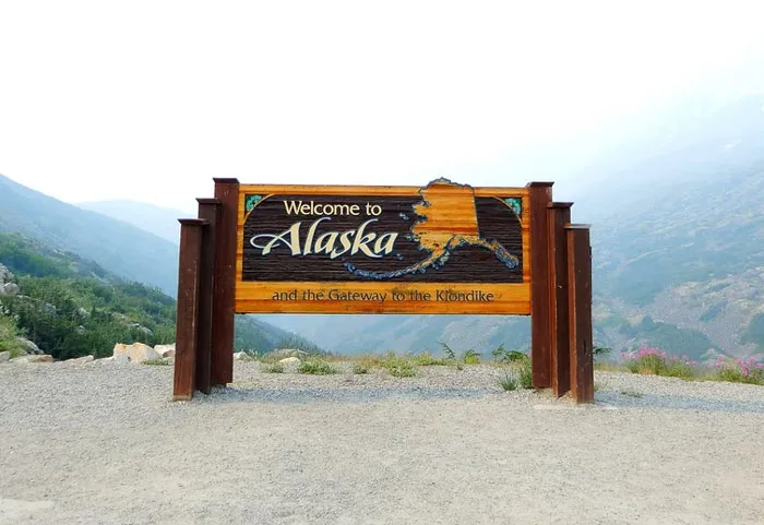
Alaska is simultaneously the furthest west, east, and northern point in the US.
66points

We hope you're enjoying this fascinating list of geography facts and that it's taught you something you didn't learn in school. Learning so much about our world is inspiring me to get out and experience a bit more of our planet's remarkable geography. Remember to upvote all of your favorite facts that you'd like your fellow pandas to see, and let us know in the comments what the most interesting geography fact you know is!

#28

At high noon in Hawaii when the Sun is directly overhead, the shadows of objects evenly line up to make it look as if there are no shadows being cast, so objects planted in the ground would look like they're in a poorly rendered video game. This phenomenon is called Lahaina Noon and it happens bi-annually.
Report
65points

#29

[Point Nemo](https://oceanservice.noaa.gov/facts/nemo.html) is the loneliest point away from any other land (2,688 km away of any other)
The closest people are the ones at the ISS.
60points

#30

Maine borders exactly one state. Tennessee and Missouri border eight apiece.
Half the world’s population lives within 3,300 kilometers of Mong Khet, Myanmar.
Manila’s population density is more than 100,000 people per square mile. In fact, the three densest cities in the world are all in the Philippines.
The distance between the highest point and the lowest point in the contiguous United States is less than 85 miles.
55points

#31

Canada has the longest coastline in the world at approximately 243,042 kilometres. It’s estimated that it would take more than 30 years to walk Canada’s coastline at the rate of 19 kilometres a day.
Report
48points

#32

"Australia Is Wider Than The Moon": 35 Mind-Blowing Geography Facts They Never Taught You In School
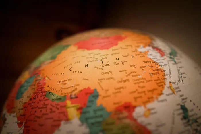
China has 14 neighbouring countries.
46points

#33

Russia and America are so close. Whenever I look on a map, they are on opposite sides, but they are so much closer irl. I know, I am an idiot.
37points

#34

Russia and Japan are only around 10km away from each other
37points

#35

"Australia Is Wider Than The Moon": 35 Mind-Blowing Geography Facts They Never Taught You In School
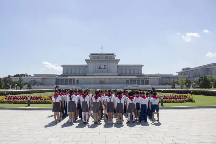
Although I'm on the other side of the planet, only 1 country separates me from North Korea.
33points
146
21