



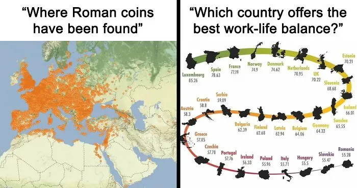


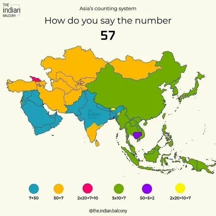
"There's nothing nefarious about that: you just make different decisions. It is the same for maps," Huffman tells us. "We all consider our audience and make assumptions about what that audience needs to know. On a tourist map, I might choose to show certain popular buildings but probably would not show something like crime statistics, even though both of those things are part of the reality of the place."
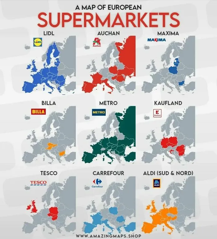
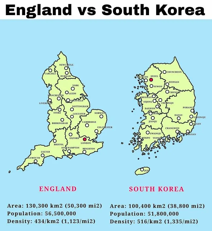
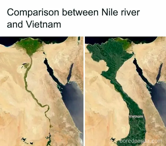
"There's no set answer to how to be 'interesting and informative,' but it helps to always keep your audience in mind. What they want, what they expect, and how easily they can read what you are trying to communicate," the mapmaker and mapmaking educator says.
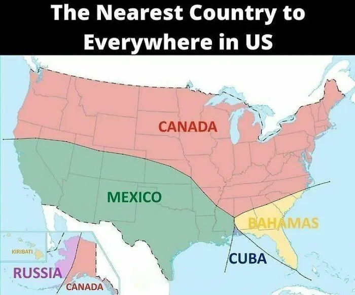
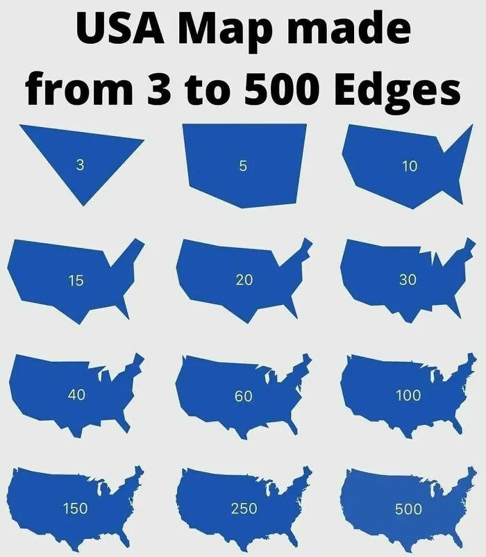
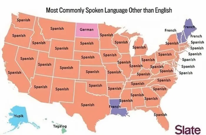
Here are some fun map facts for you: one of the oldest surviving maps is the Babylonian Map of The World. Archaeologists date it back to around 700 to 500 B.C. The map was a clay tablet nearly the size of an iPhone.
At the center of the map was a circular Babylon, divided by the Euphrates River and surrounded by the ocean. Historians say it wasn't so much about navigation but about imagining yourself at the center of the world.
A more accurate first attempt at a map was by Claudius Ptolemy. He located towns with the help of documents and by speaking with travelers. He put his findings on paper on a system of longitude and latitude and plotted around 10,000 locations. It included places in Britain, Europe, Asia, and North Africa.