



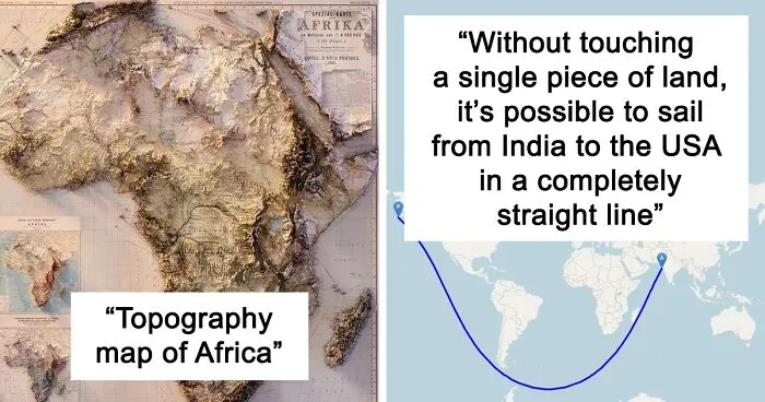


The ‘Epic Maps’ account on X (formerly Twitter) is a fabulous project that celebrates great examples of cartography. Many of these designs are unique, creative, and unusual, so we wanted to share the very best ones with you, dear Pandas. Scroll down for a look, and don’t forget to upvote your favorite ones!
More info: X | Instagram | YouTube | Newsletter
“I've noticed, especially as I've gotten older, that you only have so much time on this planet and every day that is wasted is a day that you'll never get back. If you want to get out and explore the world you just have to do it,” he told us earlier. “Some adventures will cost time and resources, but the real question I ask myself is can I afford not to do some goal I have my heart set on. There are so many opportunities in this world that it may be hard to choose, but if you wait too long those opportunities will be gone forever.”
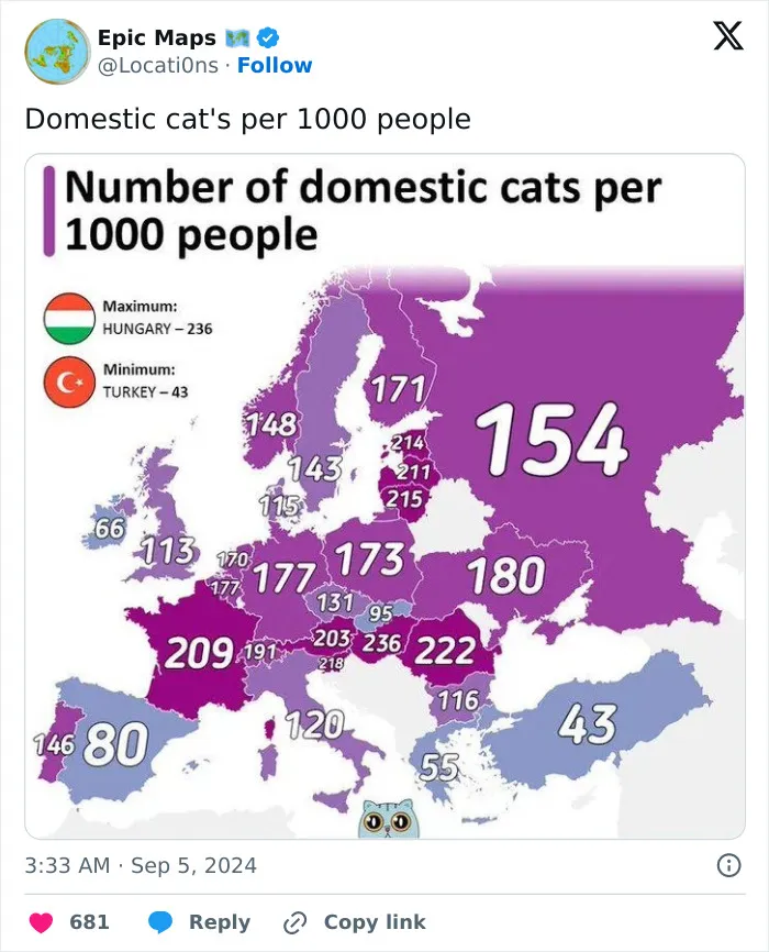
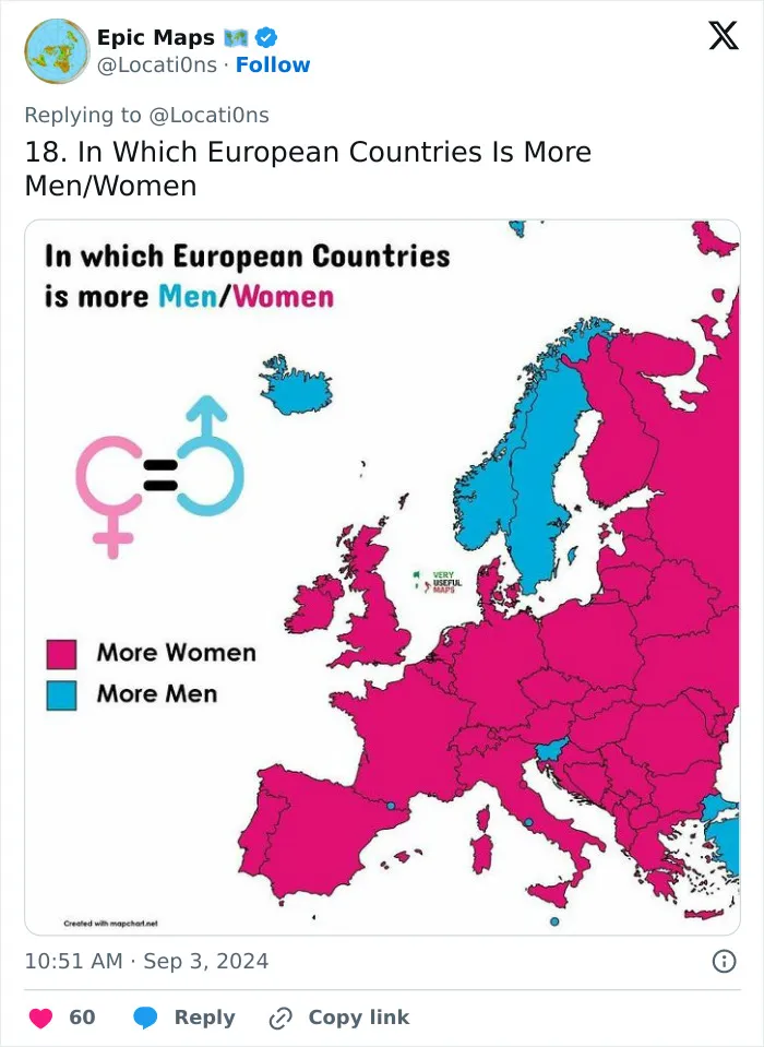
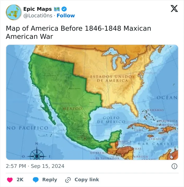
Meanwhile, the co-founder of another popular cartography-focused social media project, Erik, previously told Bored Panda that a map can be very powerful. “It is an effective way to communicate a phenomenon that has geographical or spatial relevance. From demonstrating the obvious of how neighboring countries see each other, to conveying complex information about the state of nature using remote sensing data," he said.
"In an ever-complex world, with apparently ever-complex challenges, from climate, nature, geopolitics, war, energy security, and human rights issues—maps enable us to understand and navigate the ever-evolving complexity of our societies.”
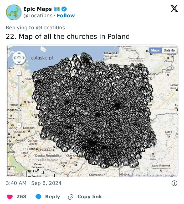
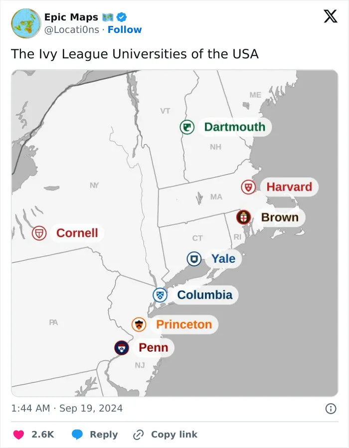
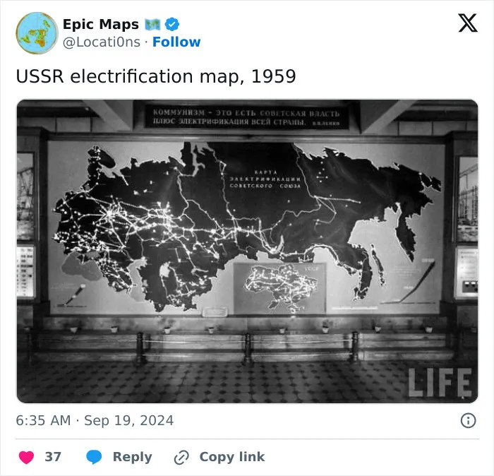
Many social media content creators who share maps put in the effort to double-check at least some of the information featured in the images. They might do a general review of the data, but verifying every single tidbit can be quite impractical.
However, those people who actually end up making (and selling) their own maps go even further, using data and satellite data from trusted sources.
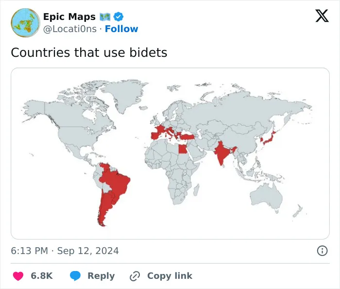
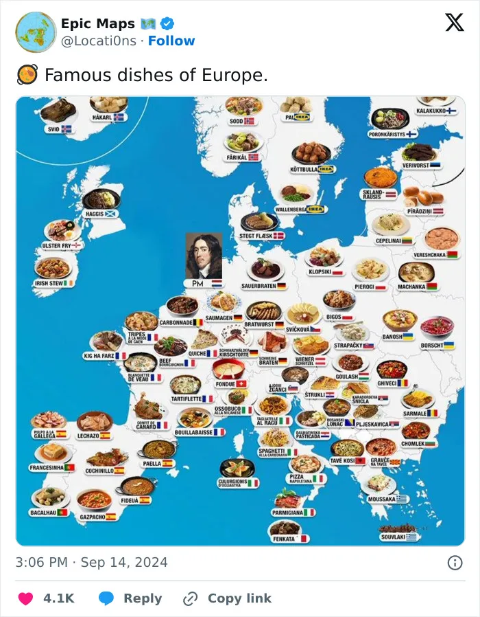
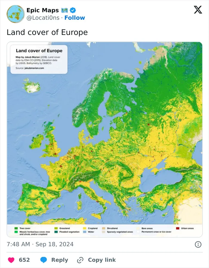
Which of these epic maps did you like the most, dear Pandas? Which ones surprised you with their content? Are there any that you’d actually consider printing out and hanging up at home?
Have you ever sat down and made a map for any reason? We’d like to hear your thoughts on everything. If you have a moment, share your opinion in the comments section at the bottom of this post.
