





Google Maps has been around since 2005 and since then, the platform has expanded to the point where it offers satellite imagery, aerial photography, street maps, 360° interactive panoramic views of streets, even real-time traffic conditions and route planning.
However, as a byproduct of all these cameras constantly documenting the world, we also get countless weird, awkward, and hilarious moments preserved online forever. The subreddit ‘Google Maps Shenanigans’ is full of screenshots capturing exactly that, from strange street encounters to perfectly timed coincidences, funny technological glitches, and much, much more.
#41 Breaking The Law Is A Serious Crime In Oyo State, Nigeria
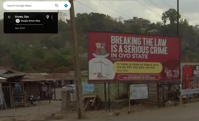
Found this message from the government of Oyo State in Eruwa (7°32'20.5"N 3°25'28.7"E)
Report
7points
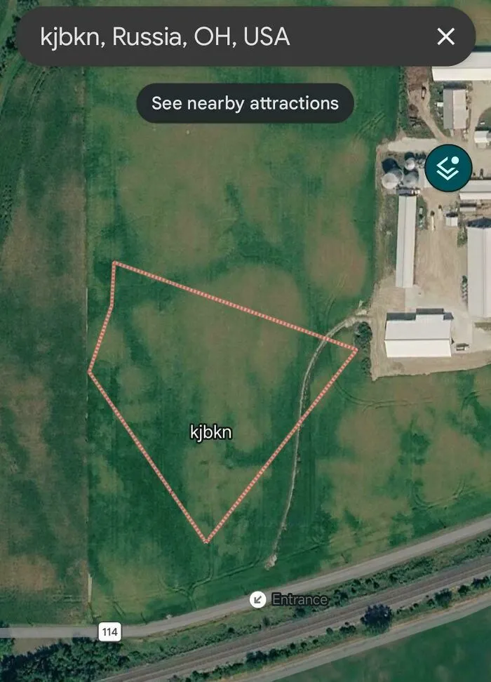
#42 Random Field In Ohio Labeled "Kjbkn", Complete With A Designated Entrance
Report
7points
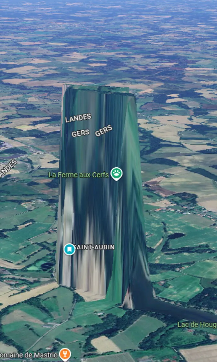
#44 Streetview Car Drives Up Driveways?
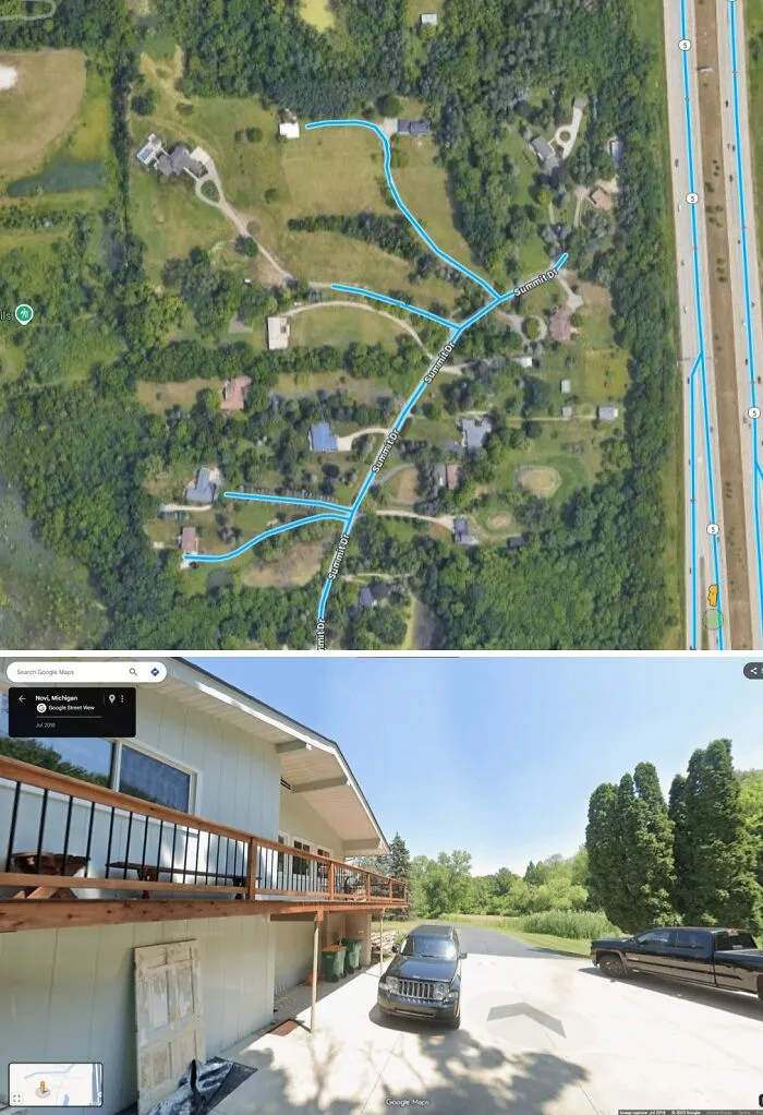
42.504387721572456, -83.45006802754308.
Organic_Award5534:
The driver is told to drive all roads in the prescribed area, but there are a few reasons driveways or private roads could be captured:
Some of the roads in the area might be very narrow and the driver mistook the driveways for narrow roads.
The driver is very new to the job and want to do the job thoroughly - Google marks many driveways and road on maps and this may have thrown off the driver.
These small roads might actually be classed public roads, despite looking like driveways. Can happen in rural areas where people have long driveways.
Another reason is that the driver was told to be more thorough this time as the area is lacking in street view coverage. Sometimes local areas ask Google to be more thorough because they benefit from Streetview in some way.
Report
6points
#45 This Sports Bar Used To Be A Hollywood Video Store. They Reused Parts Of The Original Sign

Report
6points
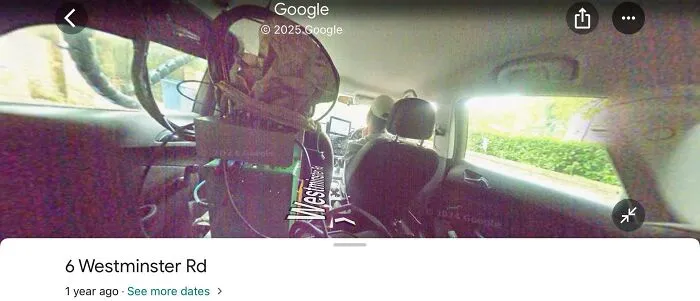
#48 There’s A Few Streets Around Eccles, Manchester, UK Where The Street View Camera Is Of Inside The Car Rather Than The Street
Report
6points
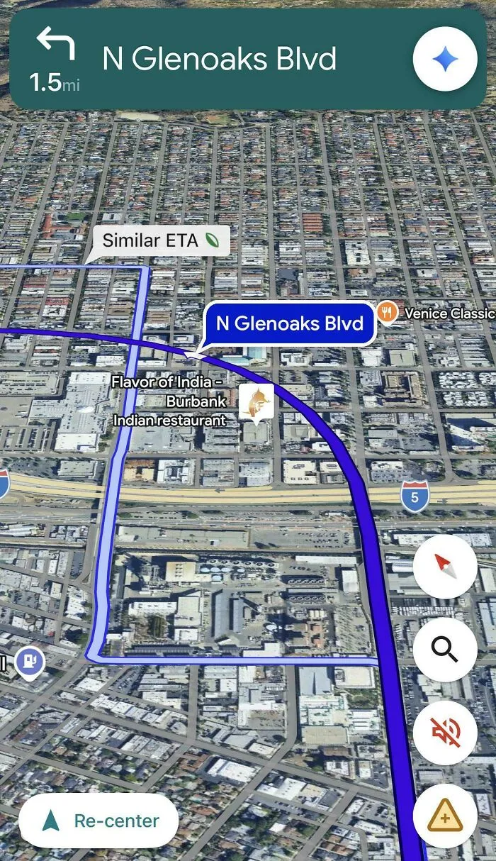
#50 Aye Aye, Cap’n! I’ll Just Take A Curved Detour Through A Bunch Of Buildings Then
Report
5points
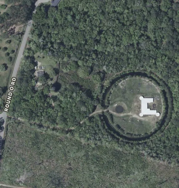
#51 Found This Structure With A Moat Around It In Cottageville, SC. Can’t Find Any Info On It
junipertwist:
It's a house, 12146 Round O Rd, Round O, SC 29474
It's a house, 12146 Round O Rd, Round O, SC 29474
Report
5points
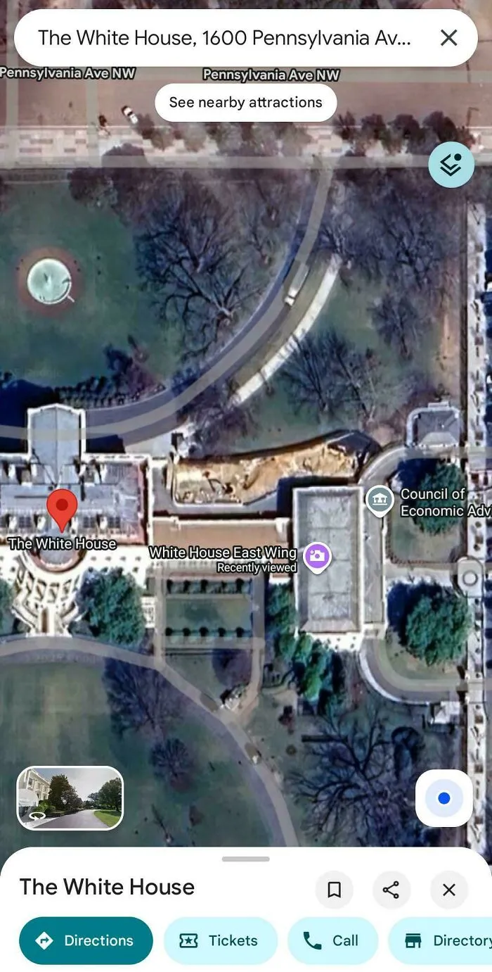
#52 It Looks Like Google Maps Has Already Started Documenting The Demolition Of The East Wing Of The White House
Report
5points
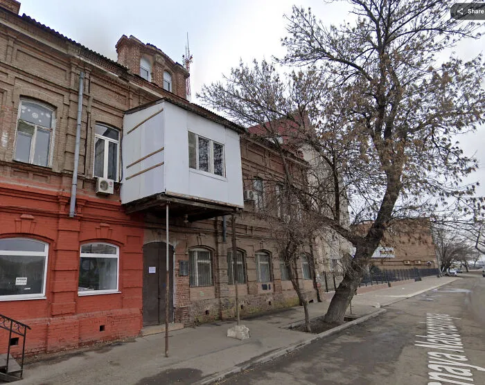
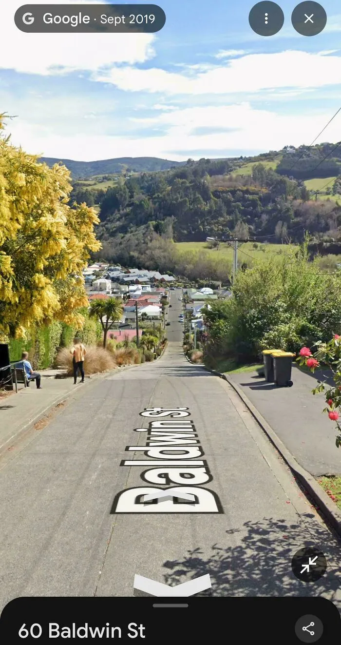
#54 Baldwin Street, New Zealand. The Steepest Street In The World. You Bet I Would've Sent It Down Here On My Bike When I Was Younger
Report
5points
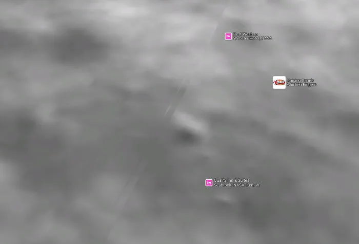
#56 What Is This Weird Jet On Cvn 77 In Google Maps. It Was At Naval Station Norfolk
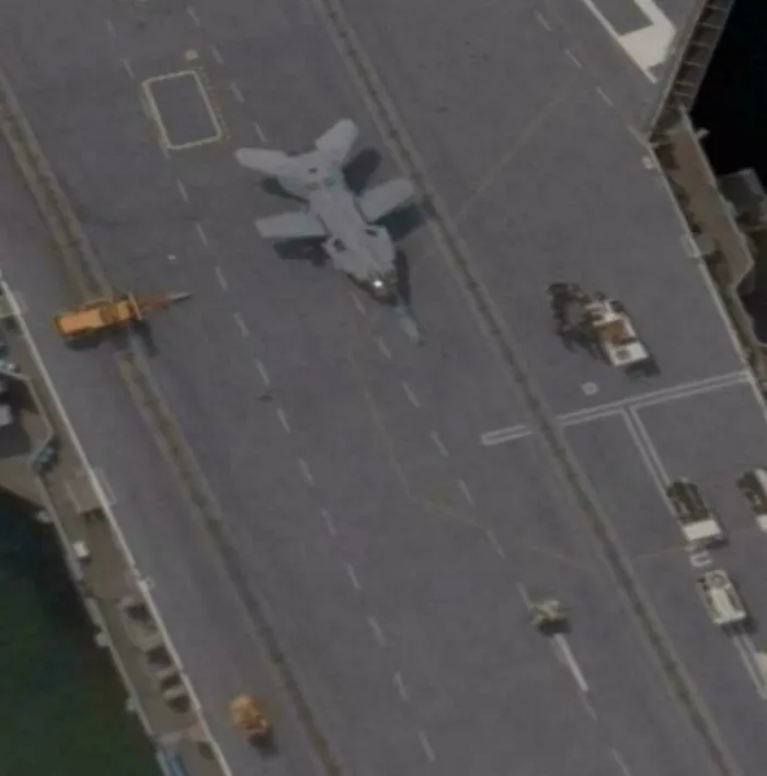
It looks like a mini b1 lancer because of its (probably) swept wings.
cyanide_sunrise2002:
Looks like a hornet. Perhaps an image artifact making the wings look weird.
cyanide_sunrise2002:
Looks like a hornet. Perhaps an image artifact making the wings look weird.
Report
4points
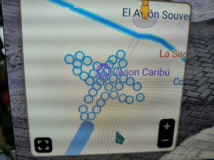
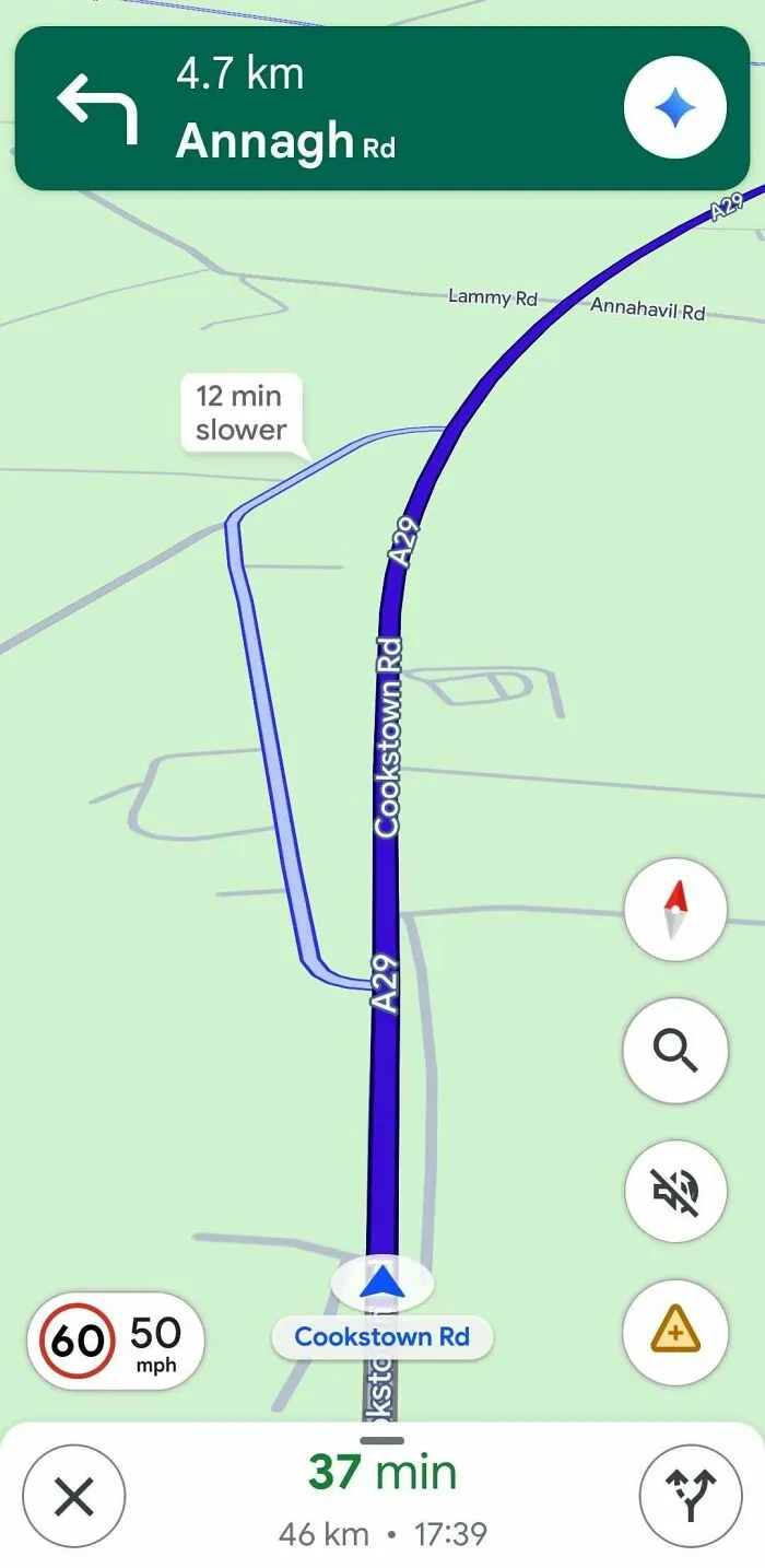
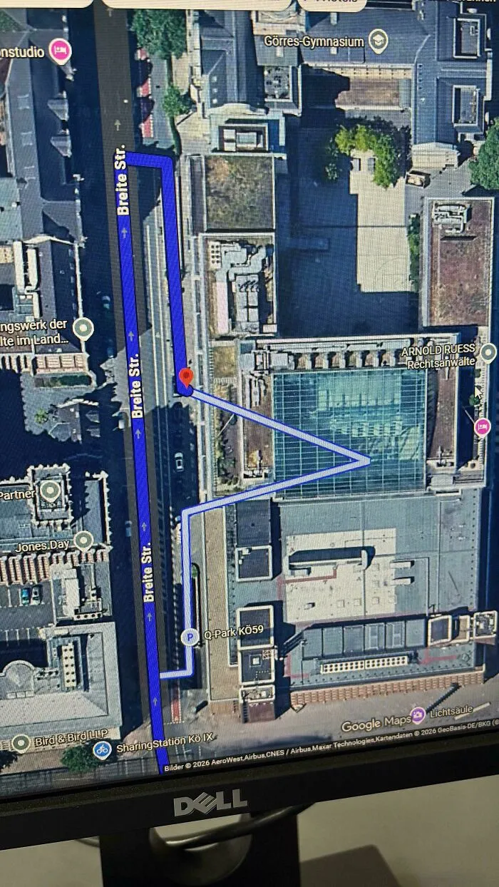
#59 Thanks Google, I Like Doing Completely Useless Loops For No Reason At All
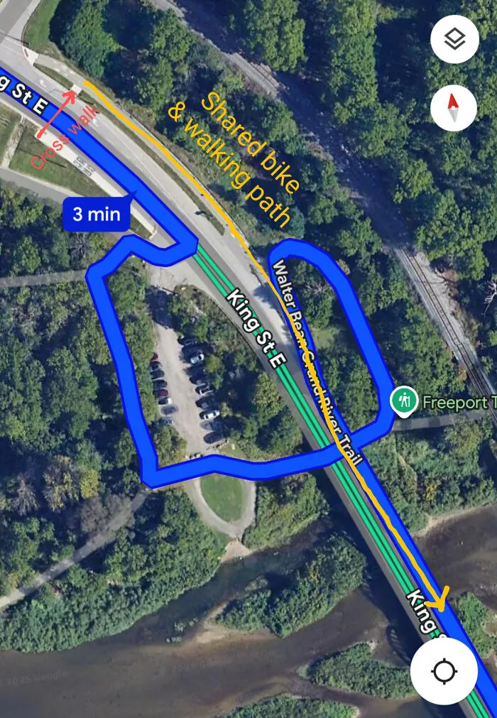
I've seen Google give some pretty whack directions before, but this one makes absolutely no sense to me.
When travelling from the top left to the bottom right, if transportation mode is set to biking or walking, this is the directions it give for either of the 2.
Instead of just simply crossing the bridge, which has a shared pathway from biking and walking, it's suggesting I get off the road, take a trailway down the hill, then cross under the bridge, then come back up the hill on the other side of the road, then onto the shared pathway on the left side of the road, and then cross the bridge over the river.
No, let's not use the crosswalk to get to the left side of the road and then just simply cross the bridge on the shared pathway on the left side of the bridge. That would be too difficult.
Also, on a bike, I'm not even obligated to use the shared pathway, I could also just stay on the right side of the road and cross the bridge on the road with the cars. But even if it wants me to stay on the shared pathway, there's still absolutely no reason for this loop de loop down and under the bridge and back up 🤣
Report
3points
#60 A Giant Cruise Liner Emerged In The Tilted 45° View
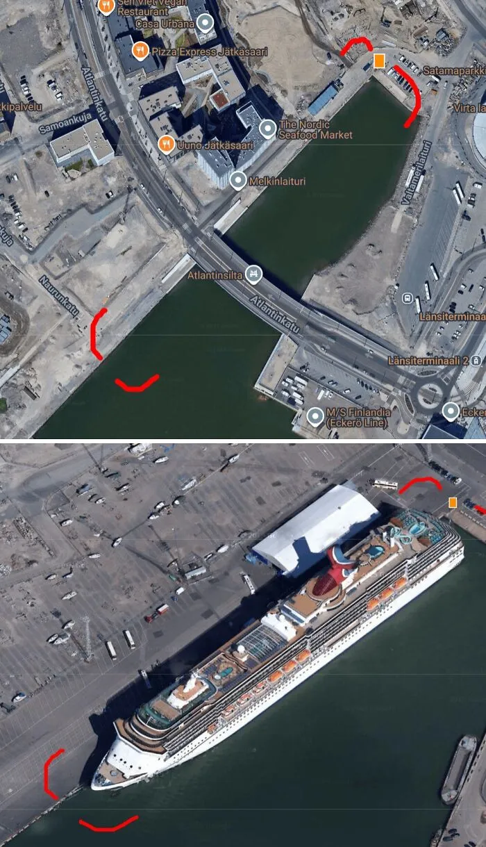
While exploring Helsinki on Google Maps, I came across something interesting in the 45° tilted view, something that wasn’t visible at all in the standard 2D imagery.
In the regular map tiles, nothing noteworthy. But switch to the 45° view (pseudo 3D), and suddenly, a massive cruise ship appears docked at the harbor. After a bit of searching, I found out it might be the Carnival Splendor.
You can still see it here on the map (as of now): https://h2h.run/CTILW9WAC/IO6/ (60.152992°, 24.914309°)
What’s especially disappointing is that Google Maps’ 45° view API is scheduled to be discontinued soon, something I only found out yesterday.
While the high-res 3D tiles have their strengths, they often suffer from severe distortion at close range. In contrast, the 45° imagery offers a more photorealistic and grounded view, and occasionally captures interesting scenes, like this cruise ship.
Report
2points