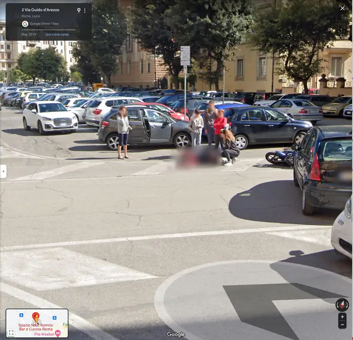


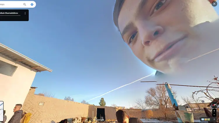



According to a report from CNET, Google Maps has photographed 10 million miles of our planet, or 98% of the inhabited world. And while it’s unlikely that anyone could ever explore all of those places in person, you can certainly do it from the comfort of your home.
Spend enough time on Google Earth, and you’ll start to notice some bizarre places and things. Or if you don’t want to spend time searching yourself, you can always just check out the Google Maps Oddities subreddit. We’ve gathered some of the most intriguing posts from this community below, so enjoy scrolling through these perplexing pics, and be sure to upvote all of your favorites!
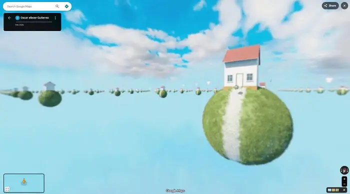
#61 Street View From The Middle Of Great Bear Lake. Truly No Idea What I'm Looking At
Report
7points
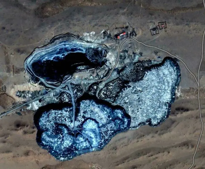
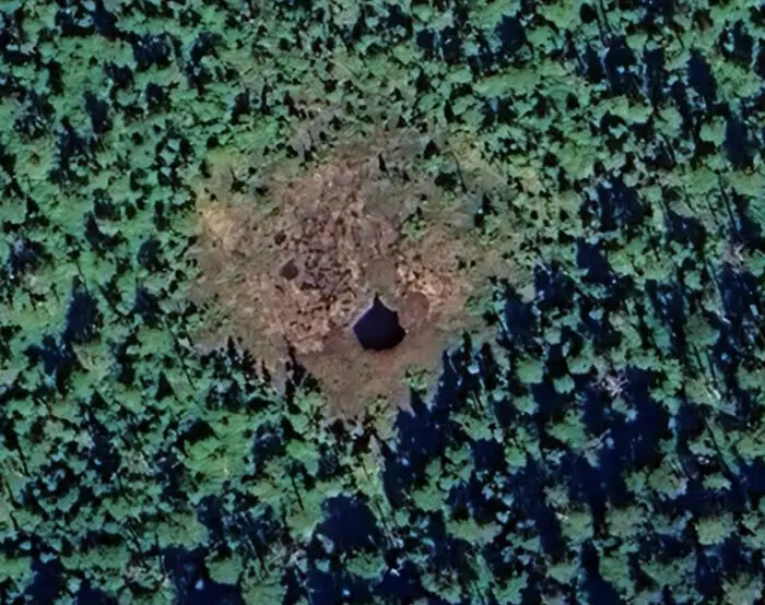
#62 What Is This Alien-Like Land Formation/Structure In Inner Mongolia, China?
Report
7points
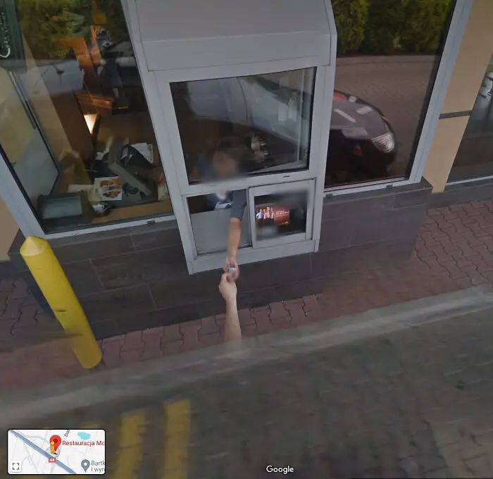
#64 Street View Driver Gets A McDonald's. Tychy, Poland. Coordinates: 50.1368152, 18.9768422
Report
7points
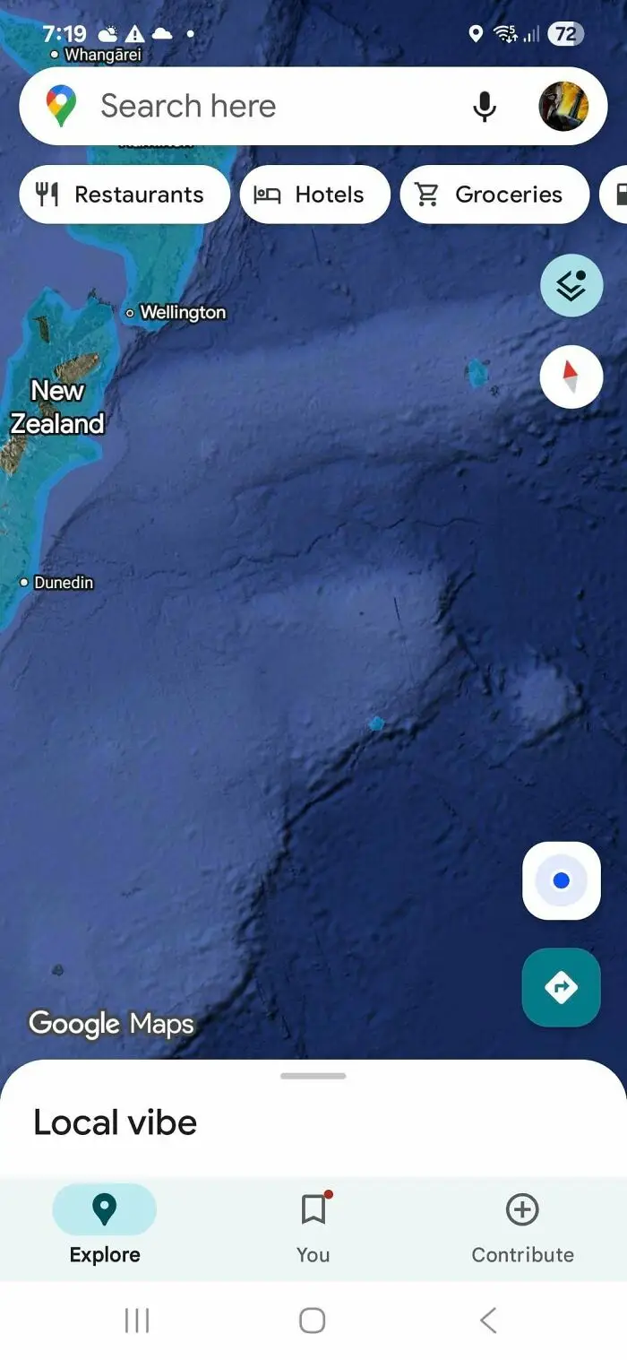
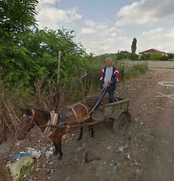
#66 I Was In Locomotion Through Downtown Albania When I Stumbled Upon This Faceless Man That Gave Me Quite The Fright
Report
6points
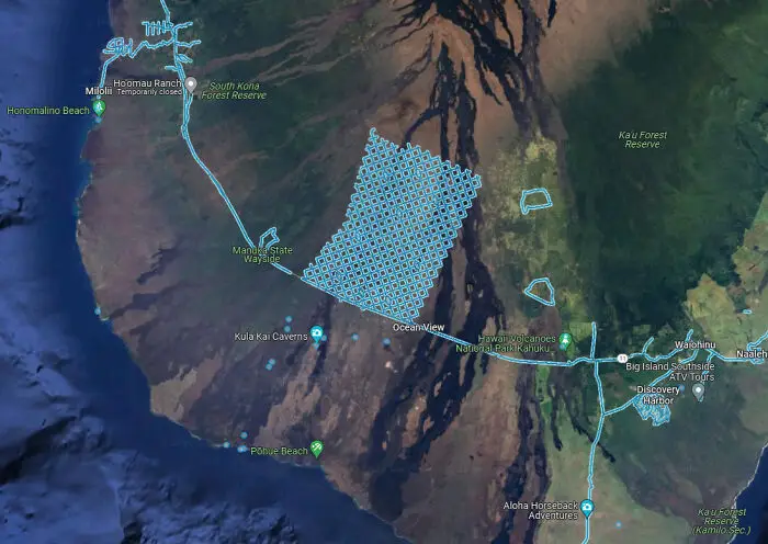
#69 Large Grid Of Roads On The Southern Tip Of The Island Of Hawai'i (19.11619261515121, -155.76478520346947)
Report
6points
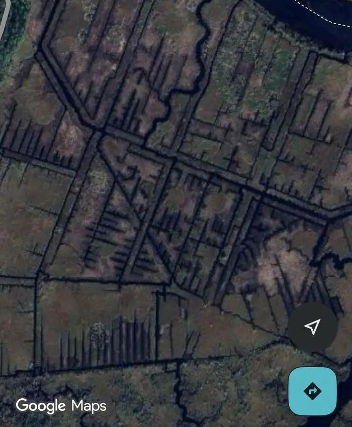
#74 What Is This Strange Network Of Channels In A River In Northern Florida?
Report
6points
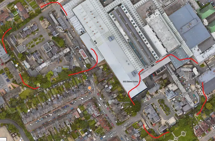
#75 Two Full Identical "Eastenders" Series Town Sets At Bbc Elstree Centre (Rotated 90 Degrees Counter Clockwise To Each Other)
Report
6points