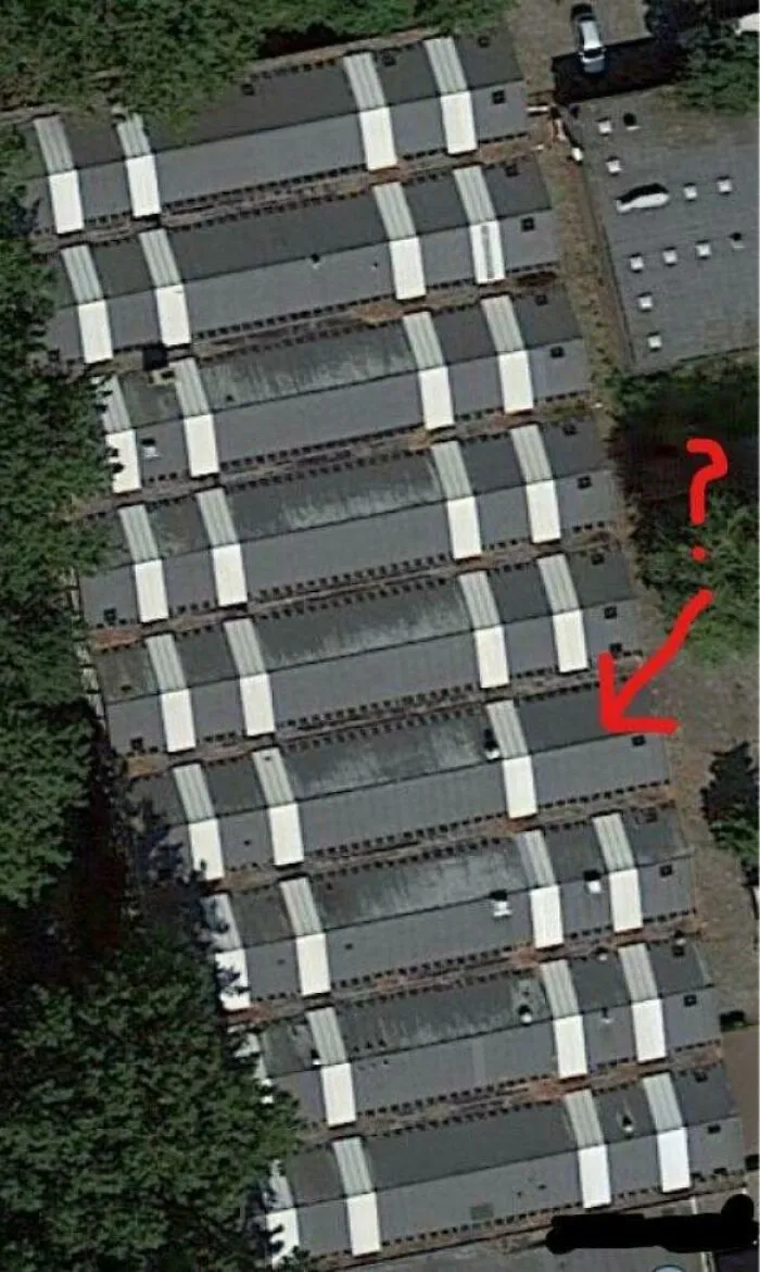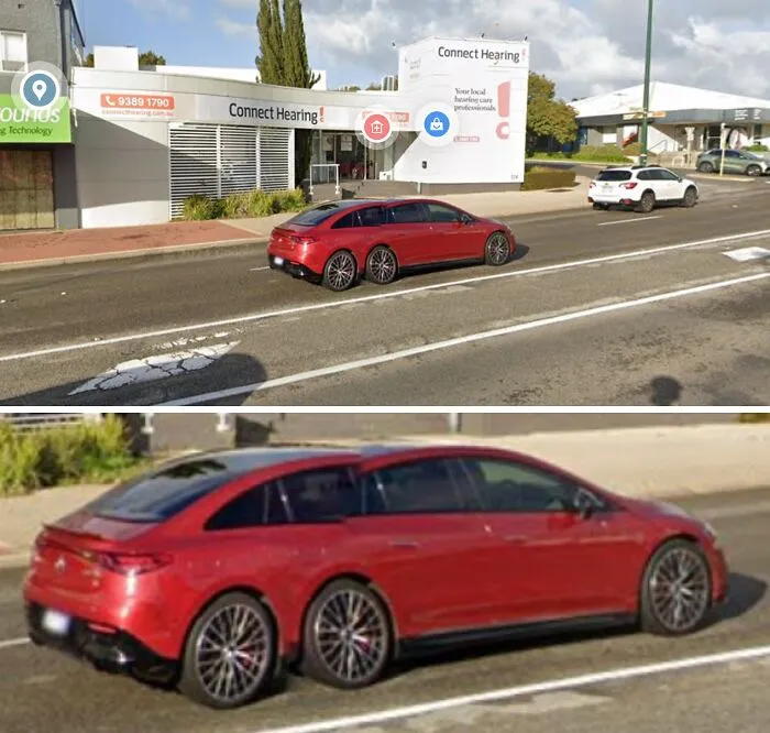


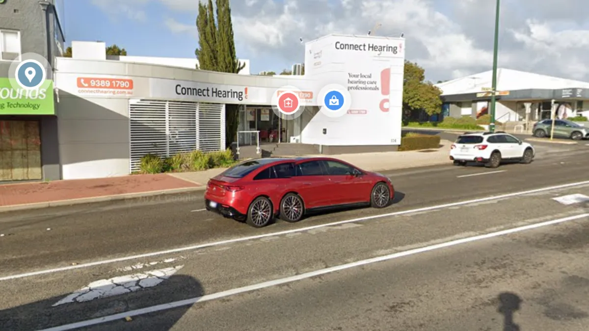


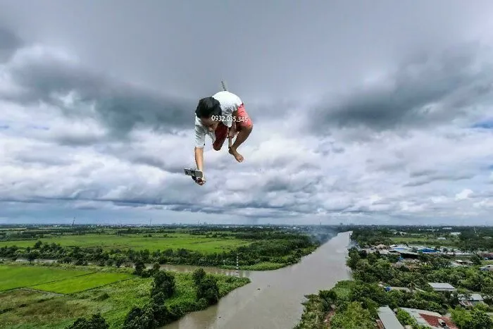
Scouring the corners of Google Earth and Maps has become an interesting way for people to explore the planet, and sometimes they come across the most unexpected finds. From random snapshots of humans to aerial images of bizarre landscapes, these discoveries reveal just how strange and fascinating the world we live in is. Some of the sights are hilarious, others might leave you scratching your head, but all of them are bound to captivate you. We’ve compiled this list of 46 photos that prove Google Earth and Maps are full of odd and extraordinary surprises.
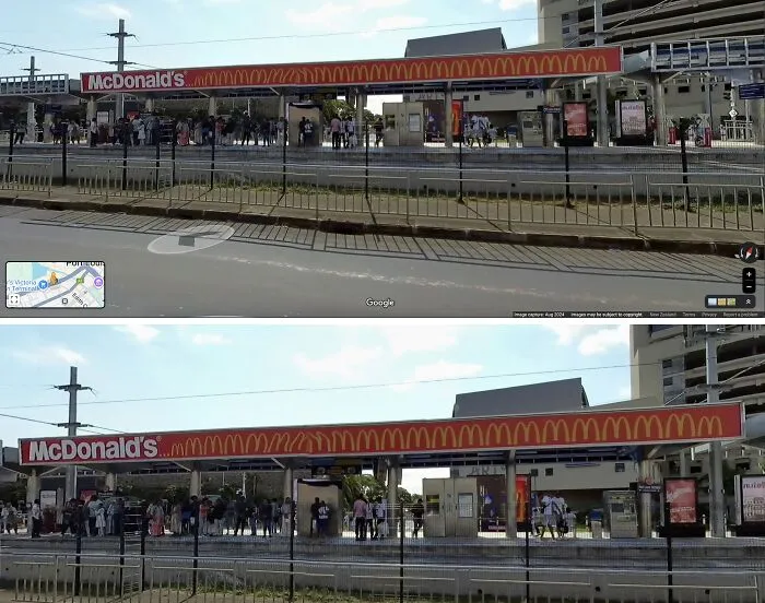
#31 Mcdonalds Sign In Port Louis, Mauritius - Mmmmmmmmmmmmmmmmmmmmmm
Report
12points
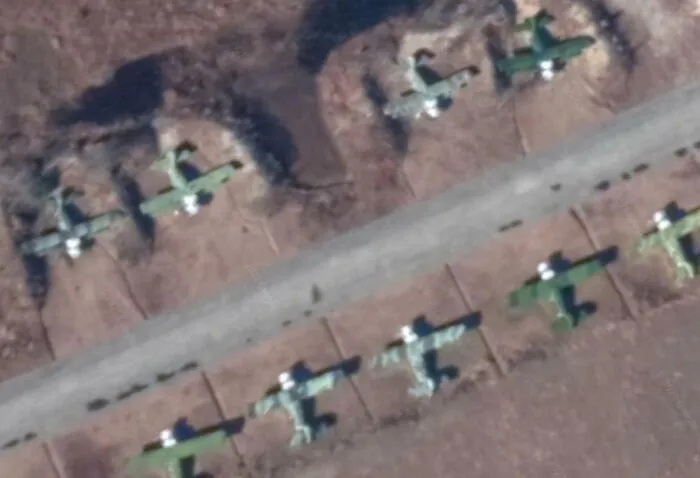
#32 Can Anyone ID These Planes I Saw On Google Earth In North Korea. They Kinda Look Like Biplanes?
Report
11points
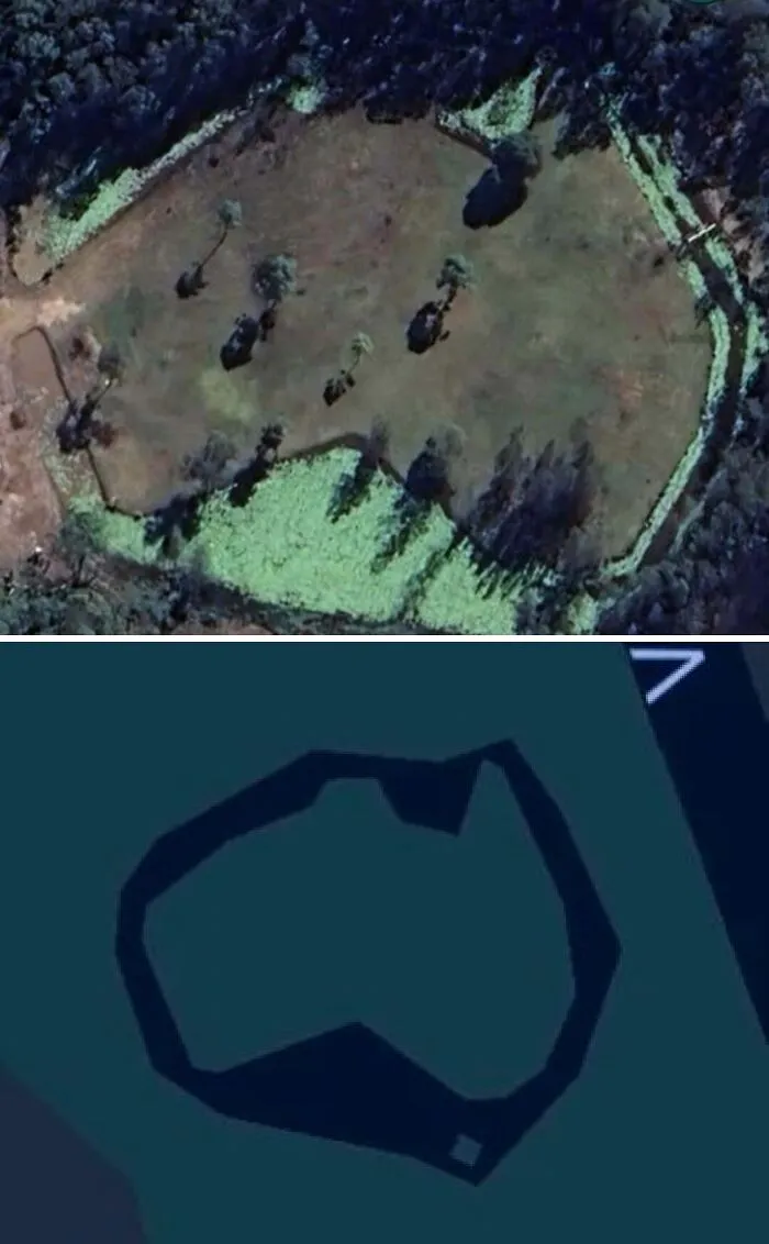
#33 Someone Near Me Has Created A Mini Australia With Their Dam That Is Large Enough To Appear On Google Maps
Report
11points
People said goodbye to the old paper maps and street guides they had relied on for the longest time after Google Maps launched in 2005. What was first developed as a desktop app called Expedition soon became the map-making powerhouse we know today, offering not only directions, but also real-time traffic updates, street views, and satellite imagery.
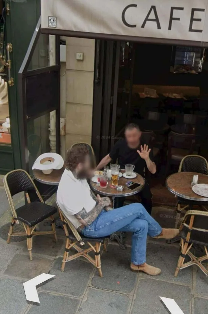
#35 What Is This?
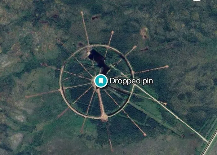
Found a weird thing in northern manitoba and I want to know if anyone know what this is 56.4340432, -94.2222389.
Report
10points
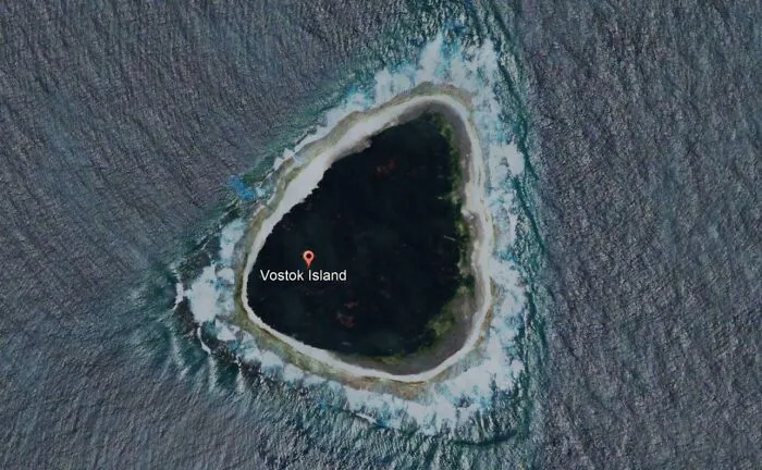
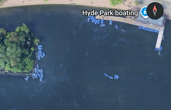
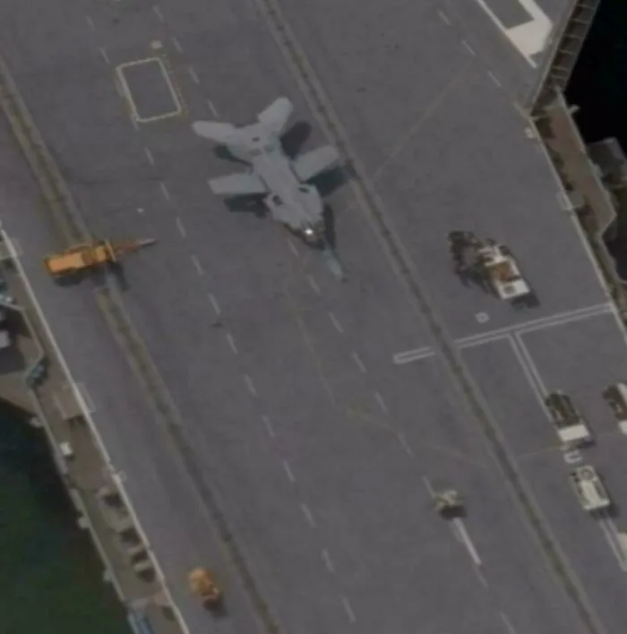
#38 What Is This Weird Jet On Cvn 77 In Google Maps. It Was At Naval Station Norfolk
Report
8points