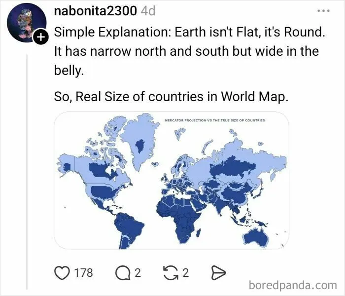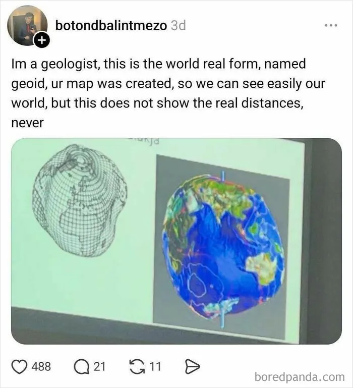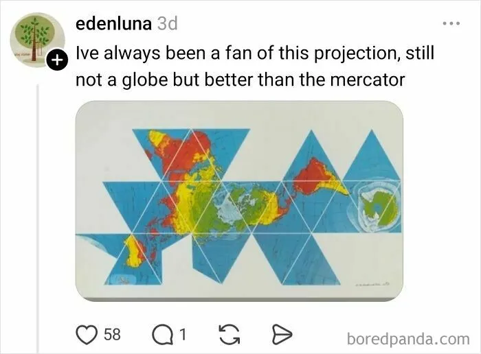


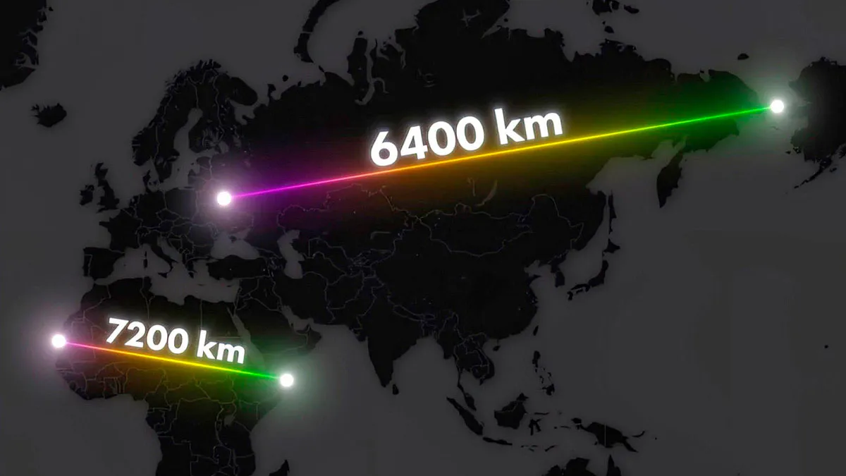


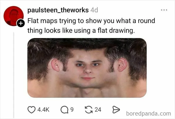
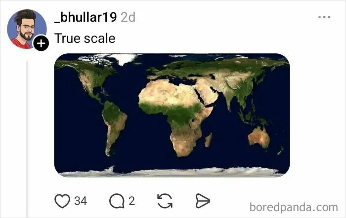
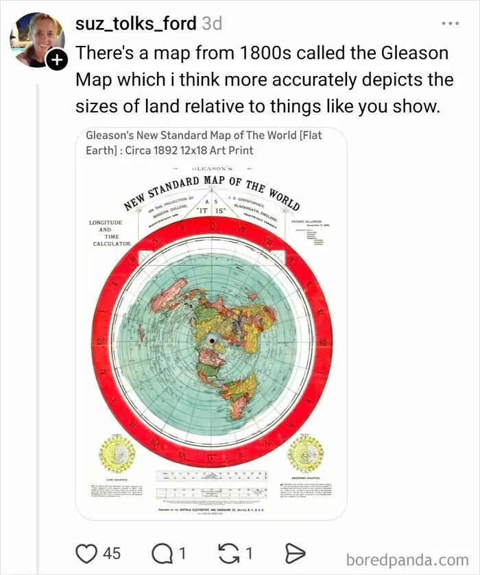
Maps distort reality because the Earth is a three-dimensional sphere, and any attempt to represent it on a flat surface requires compromise.
It's like trying to make a rectangle out of an orange peel. You have to stretch it, squash it, and tear it to do so.
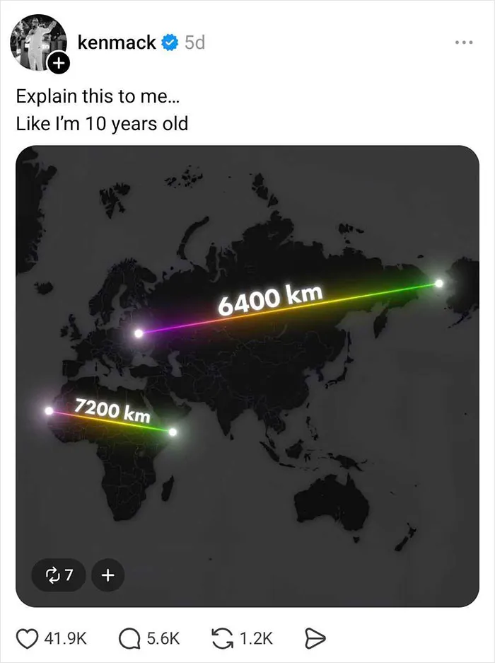
To fully understand the concept, Threads user Ken Mack asked everyone on the platform to explain it in a way that even a 10-year-old would comprehend. And people delivered!
Here are some of the funniest and most creative replies he received.
"With the dawn of satellites and GPS, the Mercator projection has fallen from favour because it is no longer needed to aid navigation," Monk explained. "Modern cartographers are free to blend equal-area maps, such as the Gall-Peters, with shape-preserving projections, such as the Mercator, and split [the] difference between size and shape."
"But there is no 'correct' map projection, and the idea that the Mercator projection is symptomatic of European imperialism is a modern critique. The fairest way to see the Earth is to study a globe."